Windy Point
Revised 20260116
H4/P3 Recommended
33.396142° -105.764624° 1,950' AGL LZ 10,000' MSL
LZ 33.385098° -105.748773° Glide Ratio 3.5
HA, TURB recommended
, RLF for HG
HG Launch:
Hangies only, ideal direction 115° - 125°, OK 110° - 130°, Min 5, Ideal 8, Max 12, gusts 5 mph
PG Launch:
Baggies only, ideal direction 115° - 90°, OK 140° - 85°, Min 5, Ideal 8, Max 10, gusts 5 mph
Site Protocols / Rules
Be sure to launch from National Forest, not the Wilderness area. Pilots in the LZ are subject to Indian Tribal law so please be respectful and appreciative.
Key Site Safety Information:
DO NOT FLY THIS SITE FOR THE 1ST TIME WITHOUT A GUIDE!!
There are powerlines across the canyon on the approach to the LZ.
The PG launch is at 10,300 feet, HG is at 9900. Use high altitude protocols.
NOTE: As of 20210227 Not recommended for HG until the scrub oak below the HG launch are trimmed!!
General Info
This site is the result of the tireless efforts of Riker Davis (H5) of Ruidoso, NM.
The H4 recommendation is mostly due to the LZ. Narrow, sloping downhill at 8100 feet, you will come in FAST over a powerline and must stop before the trees at the other end.
For PG, the LZ is fairly easy. If pilots respect the weather guidelines and avoid OD, it is solidly a P3 site. But, if you fly later in the day, you could find yourself in rapidly building OD in a heavily forested area with no bailout options.
Windy Point is on Hwy. 532 (Ski Run Rd) near mile marker 10, faces east,
and can be flown with light and variable winds anywhere from northeast to
southeast which enabled upslope thermic flow from solar heating. However, ridge lift can work - see the info from Riker Davis below.
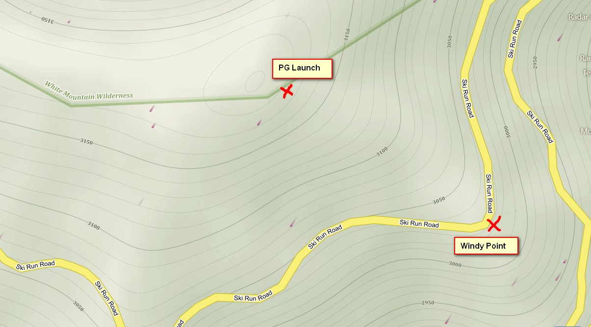
The HG launch at Windy Point is at the tourist lookout. The PG launch requires a 25- 50 minute hike up the spine, depending on your level of conditioning and ability to exert at 10,000'.
A bit of history from Riker Davis
When I started flying Windy Point in the late 1970s, I figured there would be traffic problems with too many flyers because it is such a beautiful site with such easy paved road access.
Instead, we probably peaked in the late 80s. Six pilots off on the same day. I think that was the most. I had some of the best flights of my life there - 200 plus total. Ridge soaring is possible in smooth air when a cold front comes down the eastern plains and sets up easterlies in Ruidoso. The late morning thermal flights are the best in May and June before the rains come in July. Usually bank right after launch to work lift over the rocky terrain of "Axle Bend" turn on the road up the mountain. Lift would often be good to well over 12k, then venture out to Alto Golf Course or land below at Eagle Lakes.
Now below launch is grown over with 10' oak brush. No hang glider has launched from there since I last did in 2004. It would take some serious cutting to clear the area below takeoff in order to have enough clearance. It would have to be done guerilla style as the land is on the Nat Forest. I would consider Windy Point an inactive hang gliding site for now.
Directions to Launch
Windy Point overlook - this is the HG launch and the start of the hike to the PG launch
33°23'46.1"N 105°45'52.7"W
Co Rd 532, Alto, NM 88312
goo.gl/maps/FSSacchLS7yaaZAQ8
33°23'55.3"N 105°46'05.3"W
Capitan Municipal Schools, NM
goo.gl/maps/RCWLmFxfme7DqiRX8
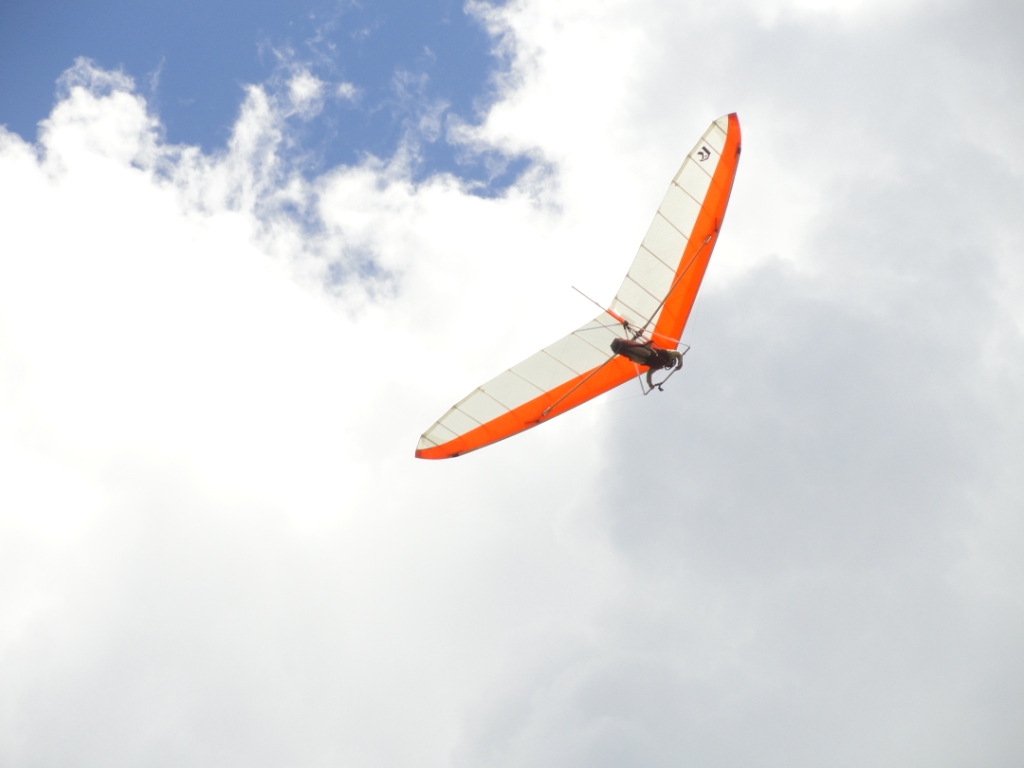
Riker Davis about to launch from Windy Point.
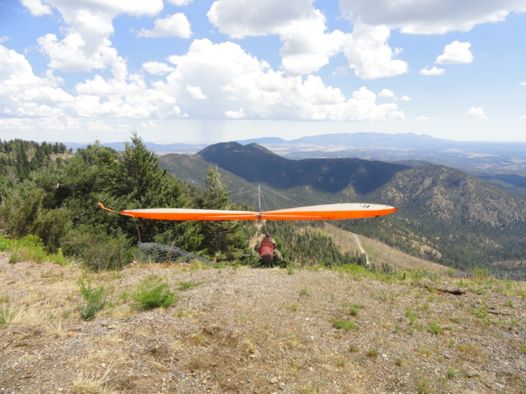
Riker heads out but he won't be in the air for long as OD is about to
begin. Rain is already visible in the distance.
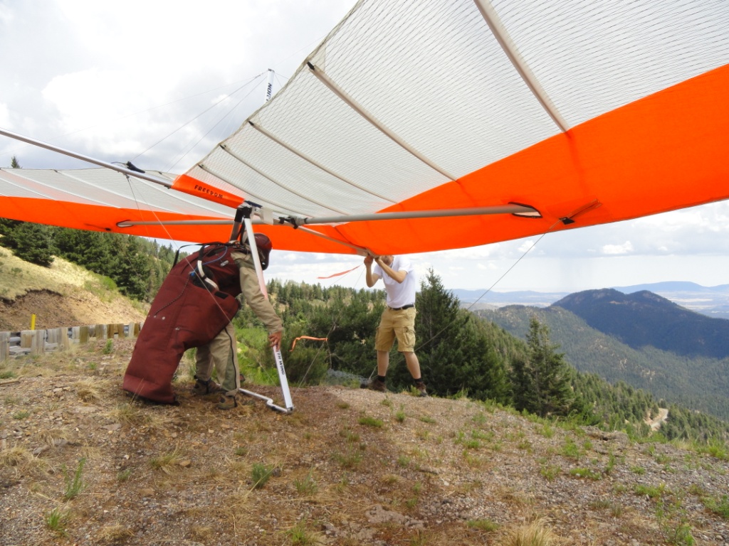
The HG launch is right off the edge of the Windy Point scenic overlook.
Only 4 or 5 steps are possible so at least an 8 mph wind is needed
for a safe launch. PG pilots should use the upper launch as it gives plenty
of room to setup and manage the wing. It is a 25 - 40 minute hike
through pleasant mountain meadows, the 2012 fire has made the going easier. Be sure to launch from National Forest, not the Wilderness area. The boundary runs more or less along the top of the ridge and includes the knoll. If you are slightly down-slope, where the launch is better and steeper and has less turbulence from cycles that might be coming up the SW aspect of the ridge from Windy Point, you will be ok.
Ambitious PG pilots may also launch about 50 yards above the HG launch area if the winds are 7-8 or more. There are a few trees to steer through here but enough wind velocity makes it doable.
Steve Crye launching from the upper PG launch September 2018. Photo Ty Bonnnel
LZ
Mescalero Lakes LZ
33.384465,-105.752039
Dropped pin
Near Mescalero Reservation, Mescalero, NM
maps.app.goo.gl/dLyEVDz6EmkEYruF8
The LZ (on Mescalero land) is easily visible from the HG launch but is
just out of site from the PG upper launch. The LZ is a grassy meadow between
the two fishing lakes in the canyon, an easy glide below. It is high at
8,100 ft. but is plenty big for safe landings by PG pilots. HG is another matter entirely. The LZ slopes downhill, you will be coming in fast and low over the powerlines with the trees on the other side rushing at you. Not for the faint-hearted.
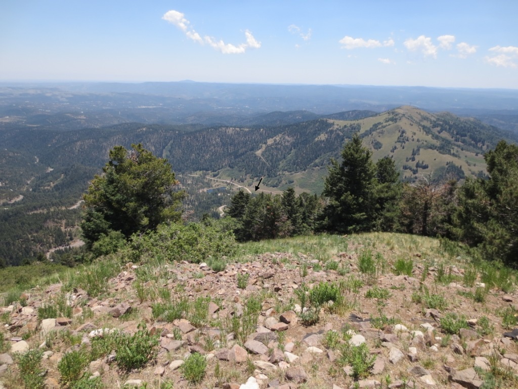 This is the view from 100 yards below and south of the upper PG launch.
An arrow marks the LZ.
This is the view from 100 yards below and south of the upper PG launch.
An arrow marks the LZ.
The Mescalero Apache Indian Tribe graciously allows pilots to land at their campground. Pilots in the LZ are subject to Indian Tribal law so please be respectful and appreciative. The fee to park at the Mescalero camp was $15 in 2024, but if you have a driver, they can meet you outside the gate. The campground is closed October through April so if one attempts flying in the winter you will have to walk out almost a mile to the locked gate at Ski Run road. PG pilots, however, can land on the road near the gate and save themselves a long hike as the road is closed and there is no traffic. However, landing on the road is a P4 level task due to tall trees on all sides and swirling air.
For the approach to the LZ, you can do steep turns or spirals over the car park area of the Mescalero camp, staying slightly uphill of the powerlines until you are low enough to do s-turns slightly uphill of the powerline. Be ready in case sudden sink drops you down on the wrong side of the lines! If all goes well your final turn to final will be about 50' over the lines, allowing a landing on the dirt road between the upper lake and the lower lake.
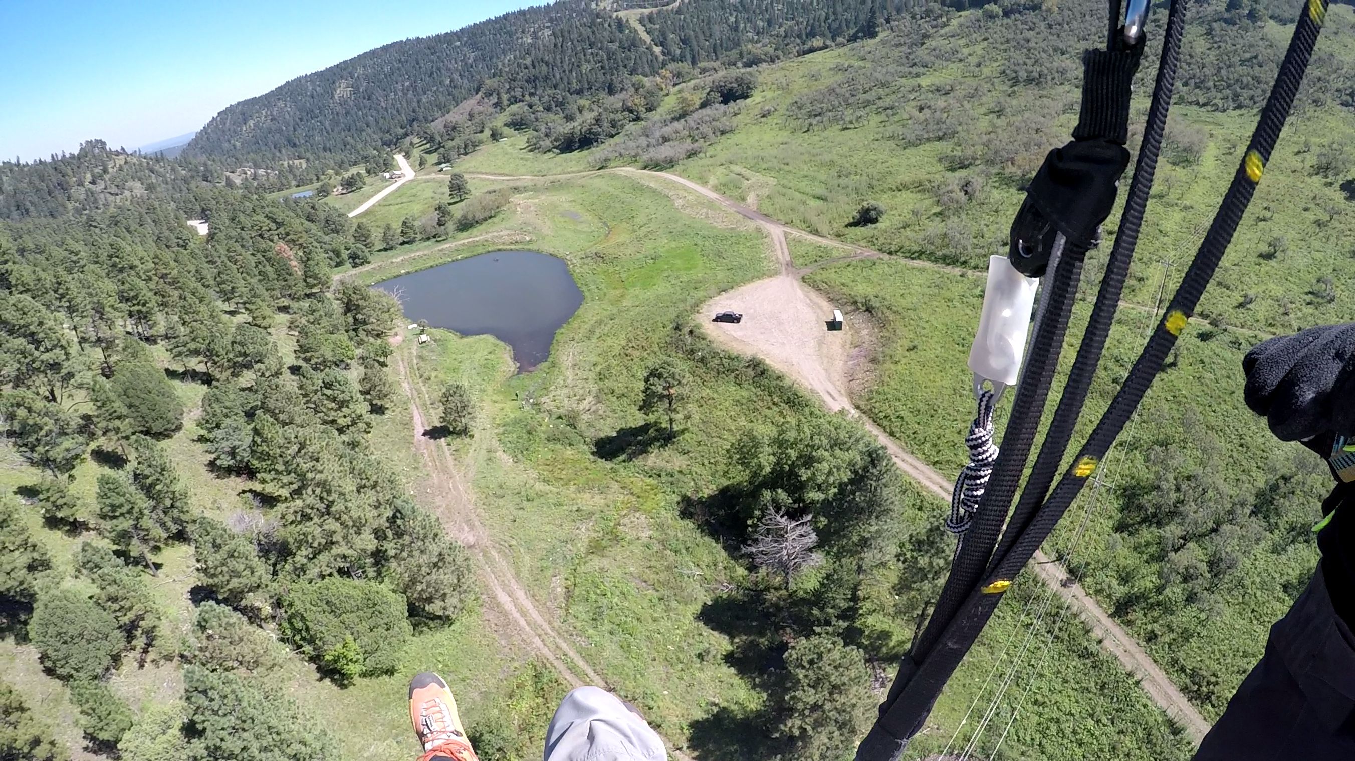
Approach to LZ. Note the pilot is directly above the power lines and about to turn right. Photo Steve Crye
Here is a link to a YouTube video of a September PG flight from Windy Point: youtu.be/X0_EgMmeGjc
Restrictions
The area is a patchwork of tribal land, USFS land, and Wilderness Areas. Do not land or launch from Wilderness Areas. Do not land in any tribal land other than the LZ. Do not land in the Ski Area or up near Sierra Blanca peak, YOU WILL BE ARRESTED.
Conditions, weather considerations, hazards
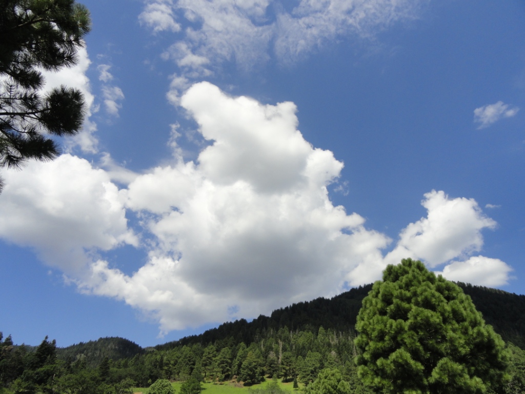
It is best in the AM on days that begin clear. Cumulus development is inevitable later in the morning and conditions remain good to about 11:30AM when OD begins. Some of the best days are those with zero winds forecast – when you expect light and variable conditions. The magic of Windy Point results from the east facing terrain heating up from the early morning sun. This creates the upslope thermal cycles which provide light to soarable lift starting around 9AM. During the monsoon season (July and August) it can OD early and the window to fly and land can close before 10AM. Past this time, lift becomes extreme and pilots can encounter virga, rain, and/or hail.
During other times of the year the site can be flyable all day if winds are light from the east, and light to variable above 12,000'
For PG, this site is mostly thermal because ridge lift created by easterly winds can be turbulent from the many peaks, spines, and canyons in the vicinity.
Do a thorough weather work-up, paying particular attention to the lapse rate and winds aloft. !! Check winds at 12K, they can be westerly when winds at launch are straight in, and can mix down unexpectedly !! This is a high-altitude mountain site in the SW USA, and conditions can be unpredictable and change from benign to severe with little warning.
You will be flying over a spruce and aspen forest with almost no options for landing. Bring a tree-landing kit. Because of the altitude your groudspeeds will be higher than expected. You may need to descend quickly and make a spot landing in a tight, restricted area with high levels of rotor and turbulence from terrain and trees.
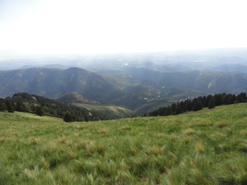
View east from the upper PG launch. Note the moisture in the air –
in less than an hour there will be towering cumulus clouds everywhere.
The LZ is just below the tree line to the lower right.
View looking up from the upper PG launch. Sierra Blanca (left) and
Lookout Mountain (right) are visible in the background.
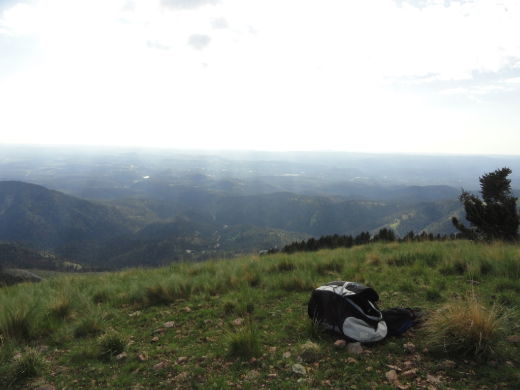
The entire launch area is thick, clumpy grass. It is safe and easy to launch here and there is plenty of space to recover from mistakes. Tired pilots can easily take a nap and relax.... This is one of the only launch sites in the southwest that is huge and grassy.
Another view straight down the upper PG launch run.
A pilot can run forever downhill in light winds but it's important to turn right and get out in front and over the spines (where the thermals release). There is a lot of sink straight out from launch, as we would expect over a canyon.
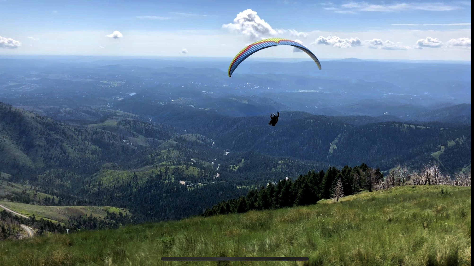
Riker on his way up to cloud-base
View looking back up to the HG launch area from the LZ. Pilots
should land when the clouds become towering as the lift under them is very
strong. This pilot experienced 1,000'+/min lift at just 10AM in the
morning out in front.
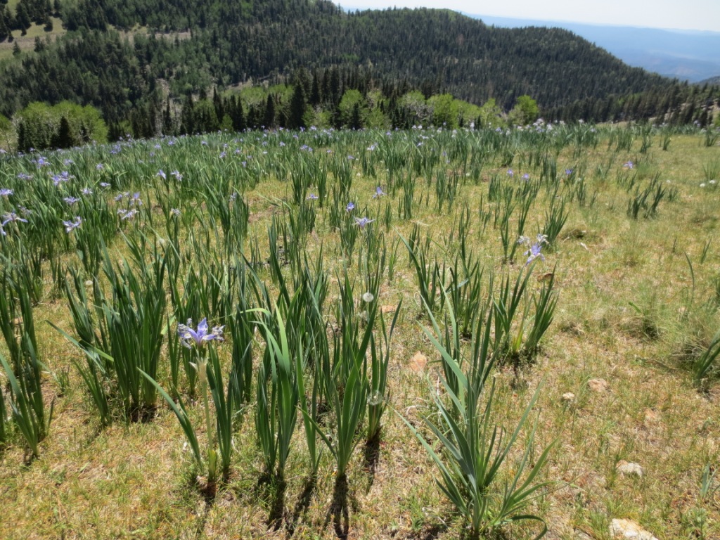
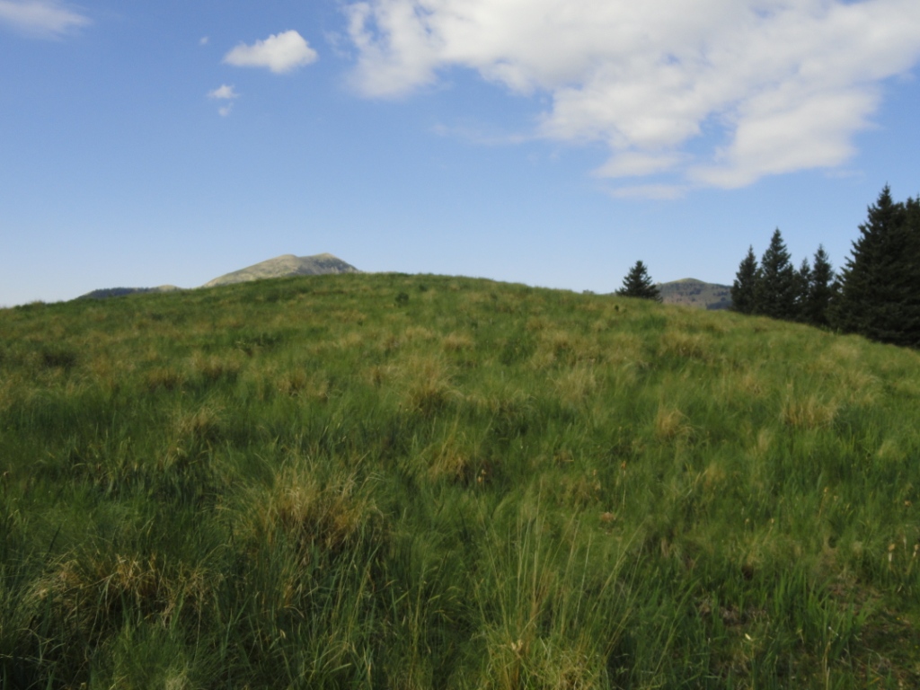
A field of iris grass near Windy Point – what an inviting place to fly a
glider.